Waste Management
Home / Waste Management
Our Services
Let’s Build Better, Together
Alpha Construction Solutions LTD is your trusted partner for intelligent construction support. Whether you’re breaking ground or nearing completion, we’re here to provide the expertise, insight, and operational control you need.
Smarter Waste Solutions for Modern Construction
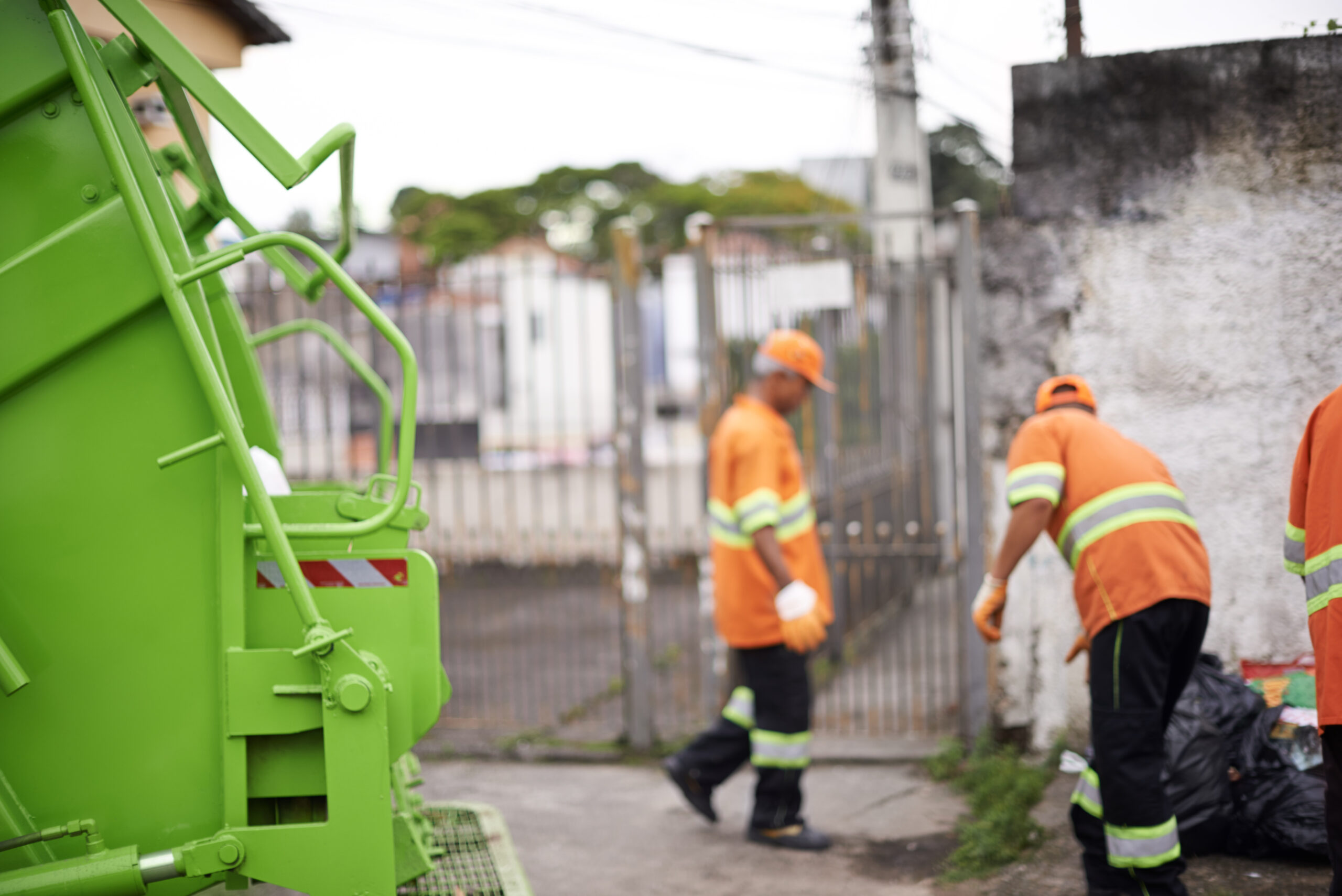
At Alpha Construction Solutions LTD, we provide efficient, compliant, and environmentally responsible waste management services to support construction and infrastructure projects of all sizes.
We help you reduce waste, control costs, and meet sustainability targets—without compromising on operational efficiency.
We help you reduce waste, control costs, and meet sustainability targets—without compromising on operational efficiency.
End-to-End Waste Management Services
Our tailored waste solutions cover every stage of your project:
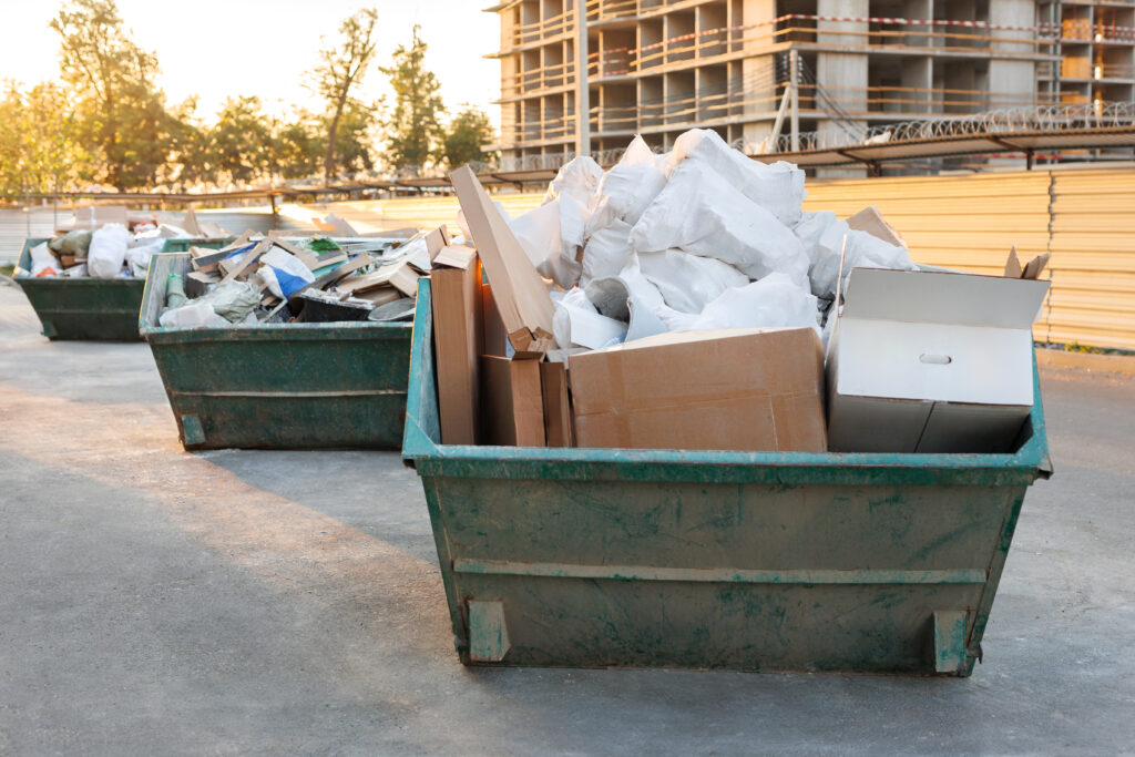
- Construction Waste Collection & Removal
- On-Site Waste Segregation
- Skip Hire & Waste Logistics Coordination
- Hazardous Waste Handling & Disposal
Sustainable Waste Practices
We prioritise sustainability by following the waste hierarchy:
Reduce
Minimising waste generation through planning
Reuse
Identifying materials suitable for reuse on-site
Recycle
Diverting waste from landfill wherever possible

Our approach helps clients meet environmental targets while improving project efficiency.
Compliance & Duty of Care
We ensure all waste is managed in line with UK regulations:
- Full compliance with environmental legislation
- Licensed waste carriers and approved disposal facilities
- Detailed documentation and waste tracking
- Support with audits and reporting requirements
Integrated with Your Project
Our waste management services are fully integrated into your construction operations:
- Coordinated logistics to avoid delays
- Scalable solutions for projects of all sizes
- Close collaboration with contractors and site teams