Topographical Surveys
Home / Topographical Surveys
Our Services
Let’s Build Better, Together
Alpha Construction Solutions LTD is your trusted partner for intelligent construction support. Whether you’re breaking ground or nearing completion, we’re here to provide the expertise, insight, and operational control you need.

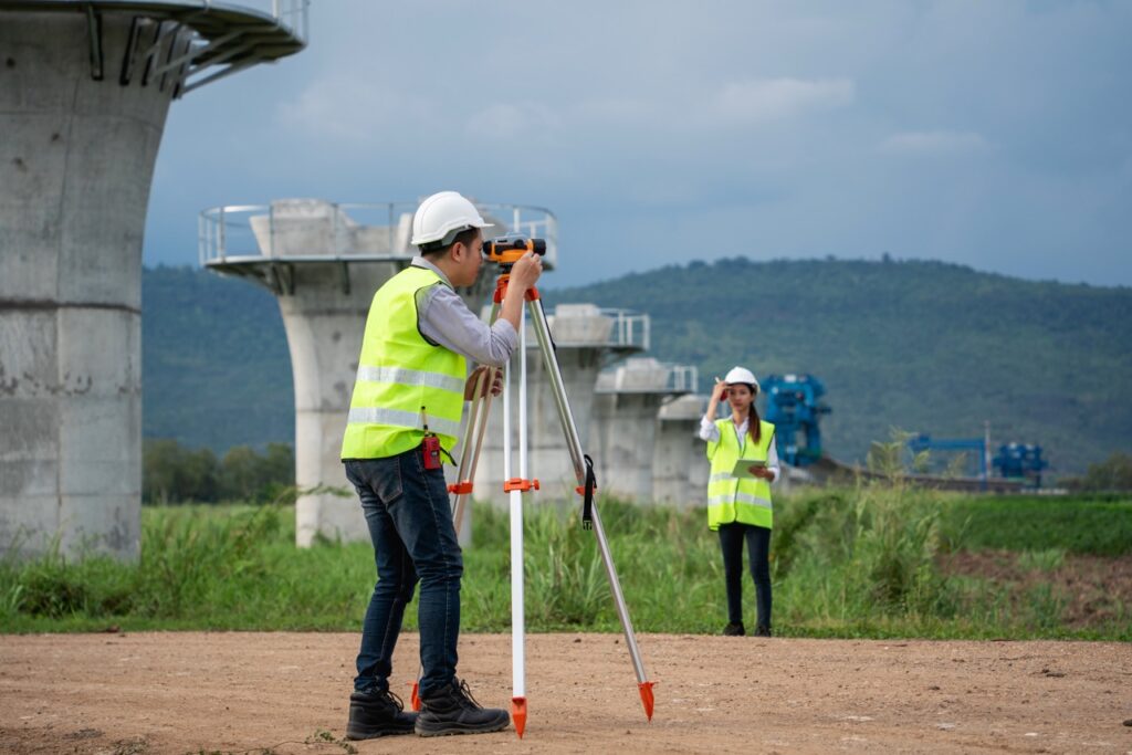
High-Precision Mapping for Design, Planning, and Engineering
Topographical surveys are essential for understanding the physical characteristics of a site. Our survey team uses advanced equipment and software to deliver accurate, detailed maps that support design and construction decisions.
Why Choose Alpha for Topographical Surveys
- Digital Terrain Modeling (DTM): Creation of 3D models showing contours, elevations, and gradients.
- Feature & Asset Mapping: Identification and plotting of buildings, roads, trees, utilities, and boundaries.
- Elevation & Cross-Section Analysis: Detailed vertical profiles for drainage, foundation, and structural planning.
- Utility & Drainage Surveys: Mapping of visible and underground services using GPR and electromagnetic detection.
- CAD & GIS Integration: Delivery of survey data in formats compatible with AutoCAD, Revit, and GIS platforms.
Comprehensive Topographical Survey Capabilities
Survey capabilities include:
Digital Terrain Modeling (DTM):
Creation of 3D models showing contours, elevations, and gradients.
Feature & Asset Mapping:
Identification and plotting of buildings, roads, trees, utilities, and boundaries.
Elevation & Cross-Section Analysis:
Detailed vertical profiles for drainage, foundation, and structural planning.
Utility & Drainage Surveys:
Mapping of visible and underground services using GPR and electromagnetic detection.
CAD & GIS Integration:
Delivery of survey data in formats compatible with AutoCAD, Revit, and GIS platforms.

Our surveys provide the foundational data needed for architects, engineers, and planners to make informed, confident decisions.